INSTRUMENT DEVELOPMENT/DEPLOYMENT
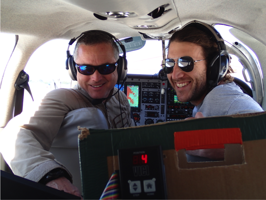
We actively work with instrumentation, with a particular focus on preparing instruments for deployment in challenging environments. We have specialized instruments for airborne measurements of ethane & methane as well as airborne nitrous oxide, carbon dioxide, carbon monoxide, and water vapor.
AIRCRAFT CAMPAIGNS
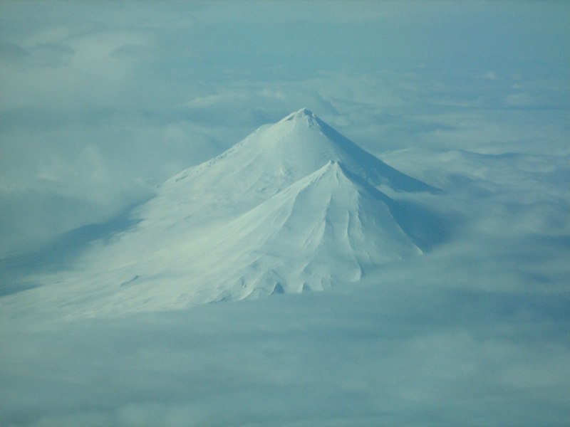
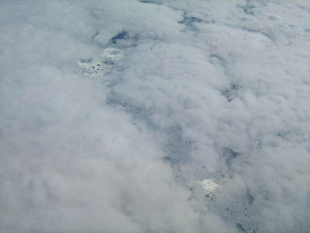
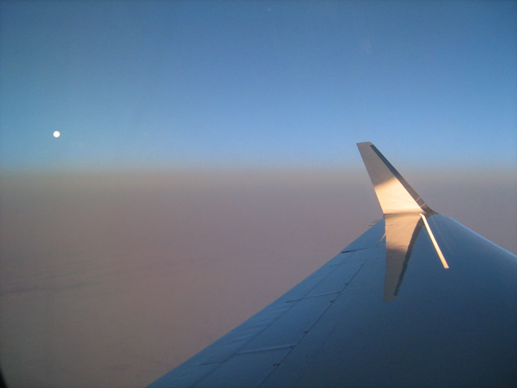
Making observations from aircraft enables us to study emissions, uptake, and transport processes on scales ranging from local to global. We conduct this research on a range of platforms, from small propellor aircraft to larger platforms, such as the NSF/NCAR GV.
SATELLITE ANALYSES
Space-based observations provide unmatched spatiotemporal observations of the earth. We have specialized in performing focused regional studies with satellite observations, concentrating on regions of intense emissions (such as Megacities).
REGIONAL MODELING
To link these observations of atmospheric concentrations to flux processes, we use various data analysis methods. The most powerful tool we typically deploy is Lagrangian Particle Dispersion Modeling– which enables us to calculate high-resolution relationships between our observations and upwind sources.